

Explore Our Services
What We Offer
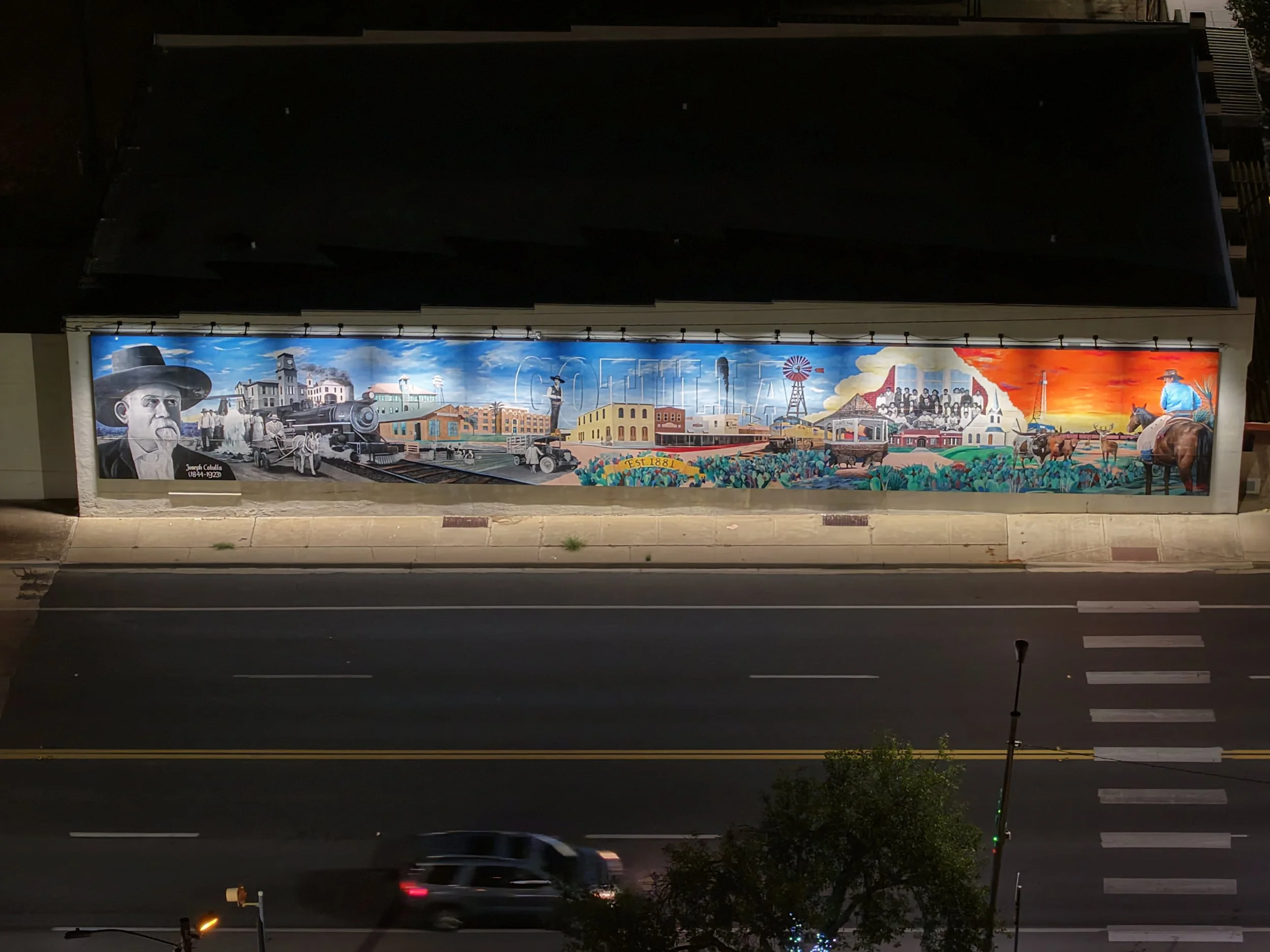
Real Estate
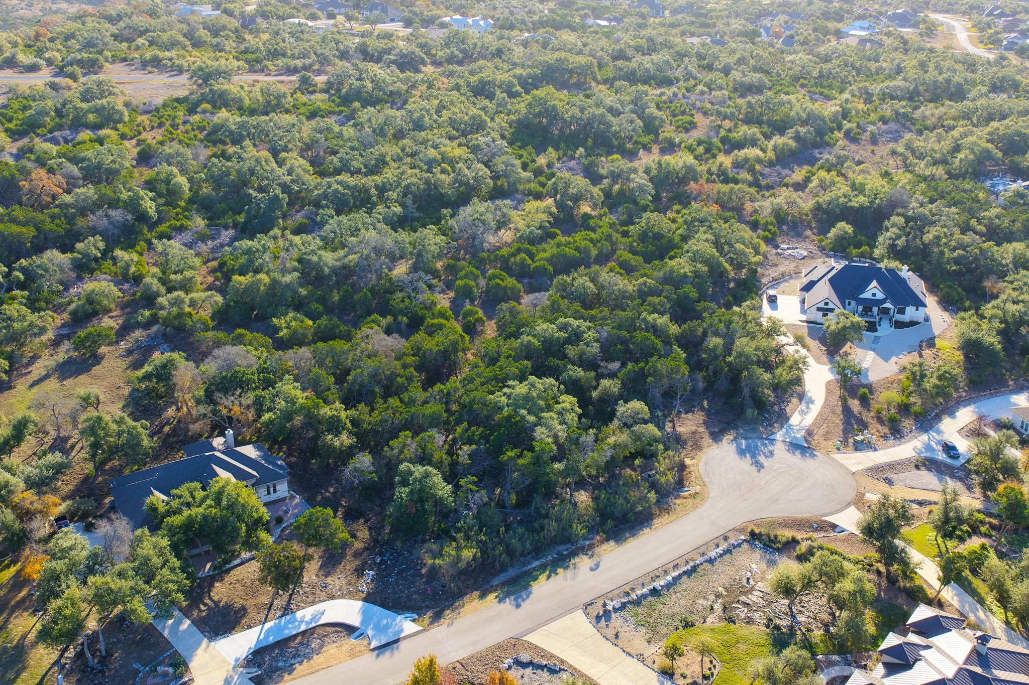
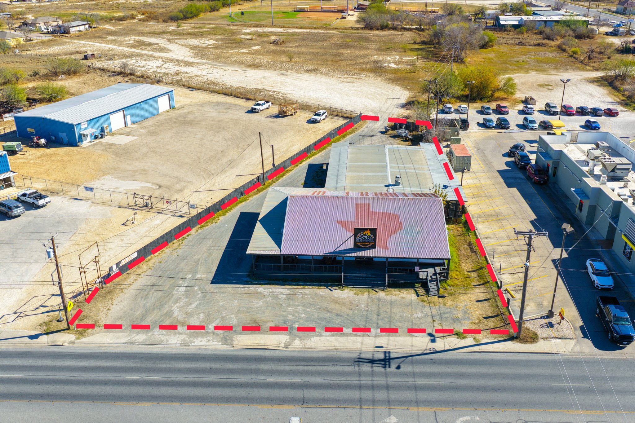
Real Estate Photography & Videography
We create high-quality real estate photography and cinematic video content designed to help properties stand out and attract serious buyers. From residential homes to commercial spaces, we capture every property with attention to detail, lighting, composition, and storytelling.
Our services help:
Showcase properties professionally
Increase online engagement and listing appeal
Highlight key features and unique selling points
Create a stronger first impression for buyers
We offer:
Professional interior & exterior photography
Walkthrough videos
Drone photography & aerial video
Social media content for listings
Fast turnaround times
Edited, high-resolution media ready for MLS and marketing
Whether you’re a realtor, broker, builder, or property owner, we provide visual content that helps your listings look their best and stand out in today’s competitive market.Wildlife Surveys
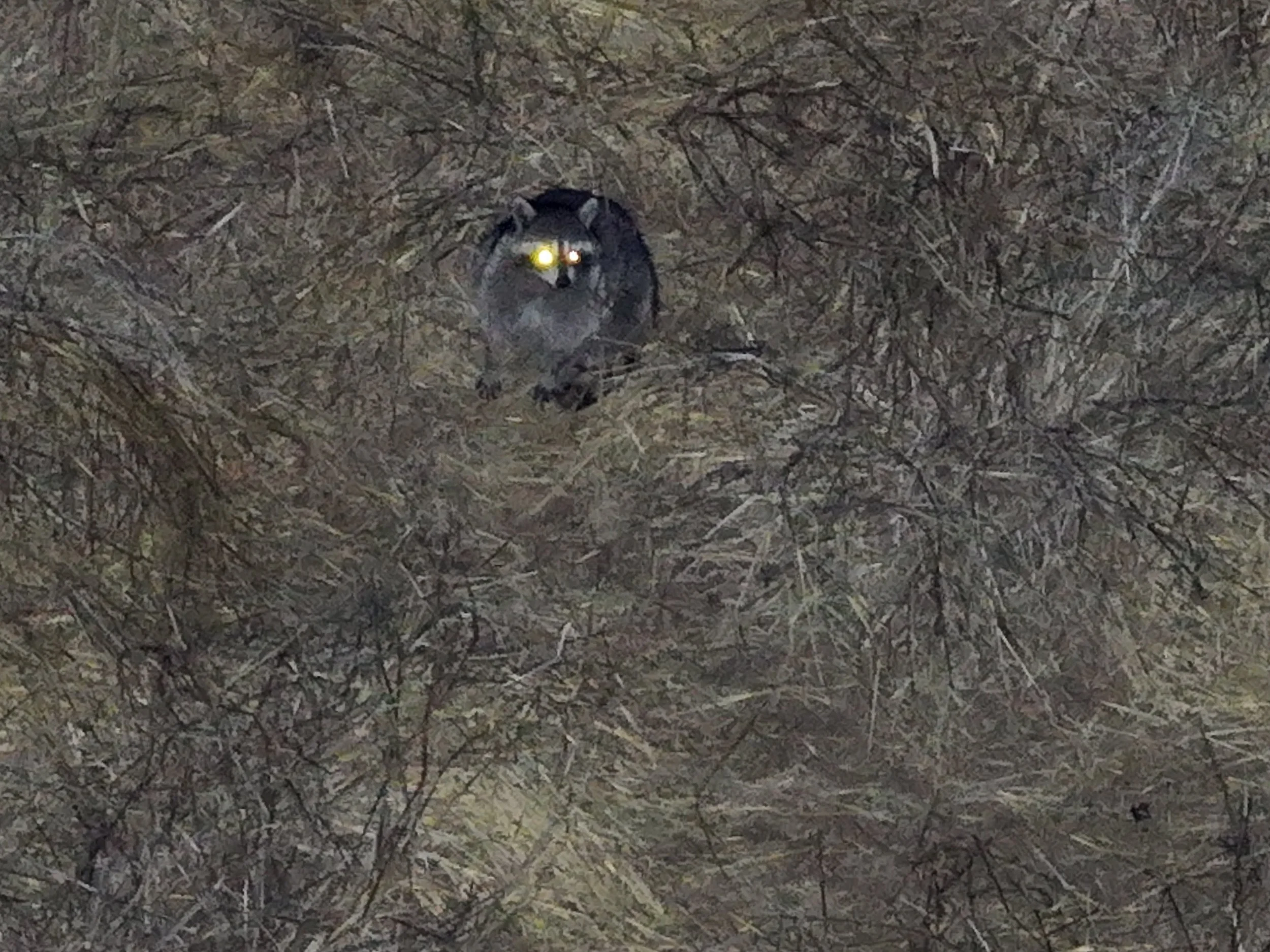
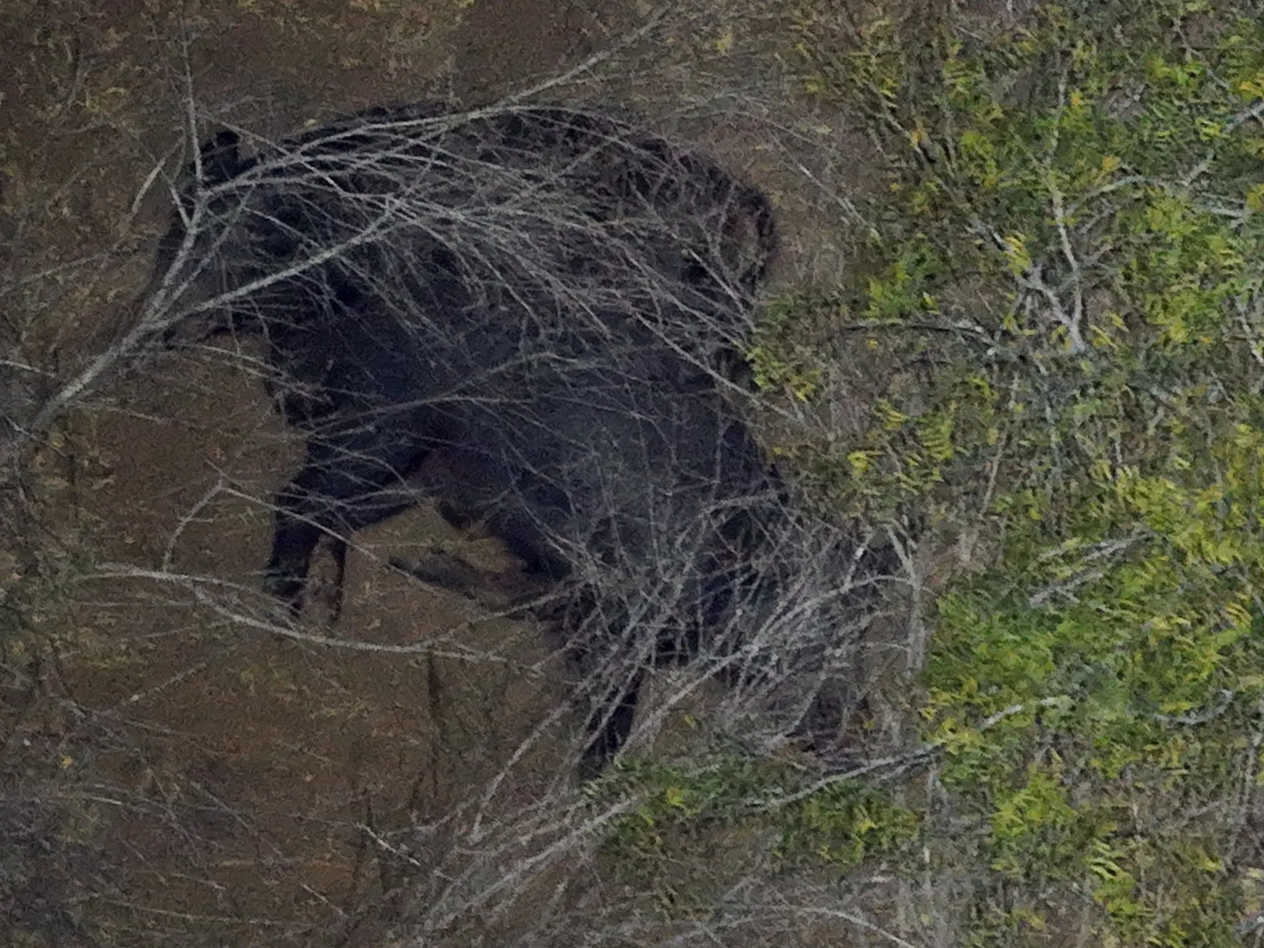
We provide professional drone-based wildlife surveys throughout Texas for ranches, hunting properties, landowners, and property managers. As a permitted operator, we use drone technology to safely and efficiently survey large properties while minimizing disturbance to wildlife.
Our drone surveys can include:
Wildlife counts and activity observations
Aerial photography and video of notable animals
Property mapping with pinned wildlife locations
Habitat and terrain overview imagery
Identification of movement patterns and high-activity areas
High-resolution images and organized reporting
Using aerial imaging, GPS mapping, and real-time observations, we provide detailed visual documentation that helps landowners better understand wildlife presence and property conditions.
Drone surveys are an efficient solution for covering large acreage, monitoring wildlife activity, supporting land management decisions, and documenting property conditions from a unique aerial perspective.Construction
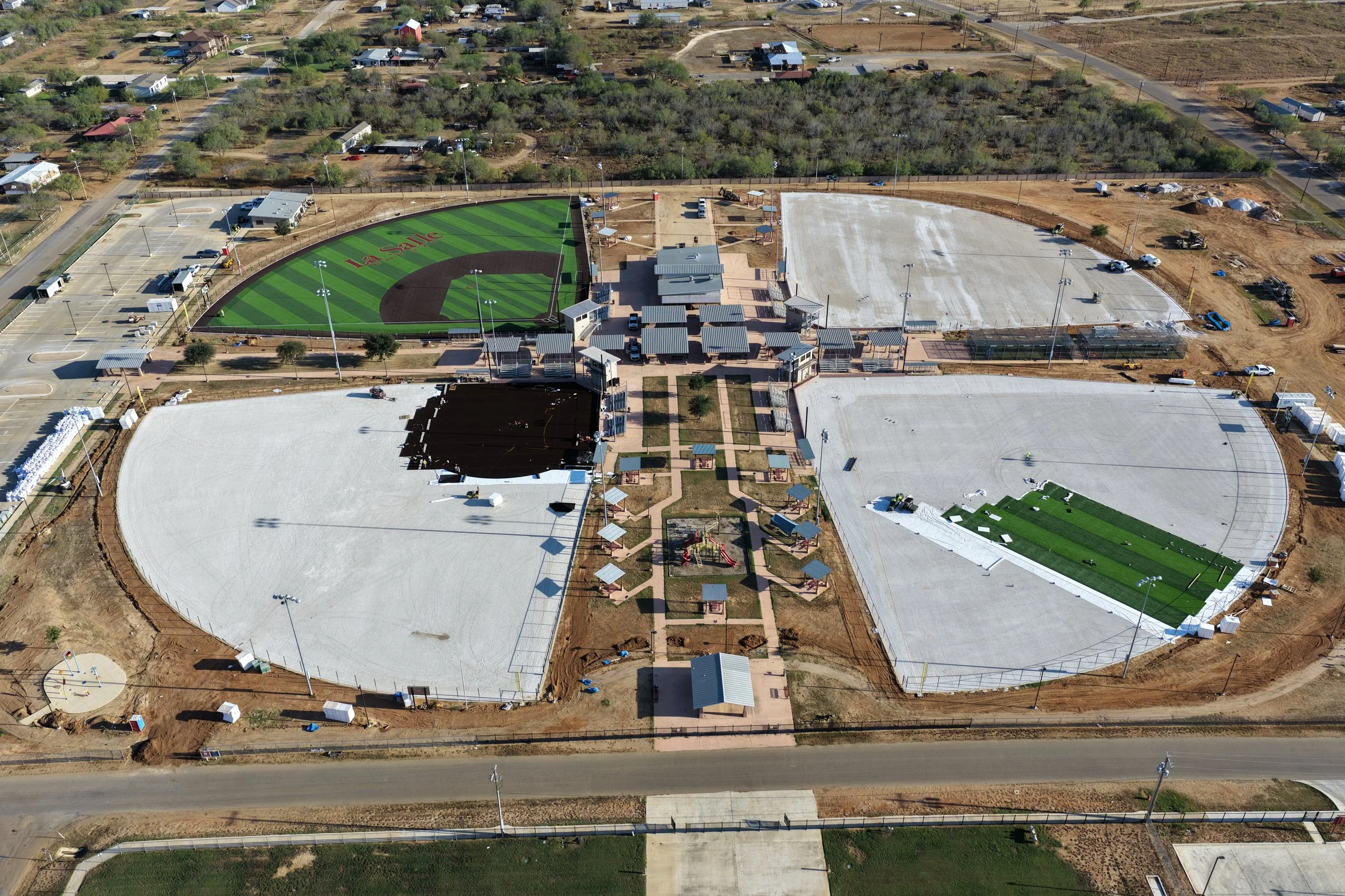
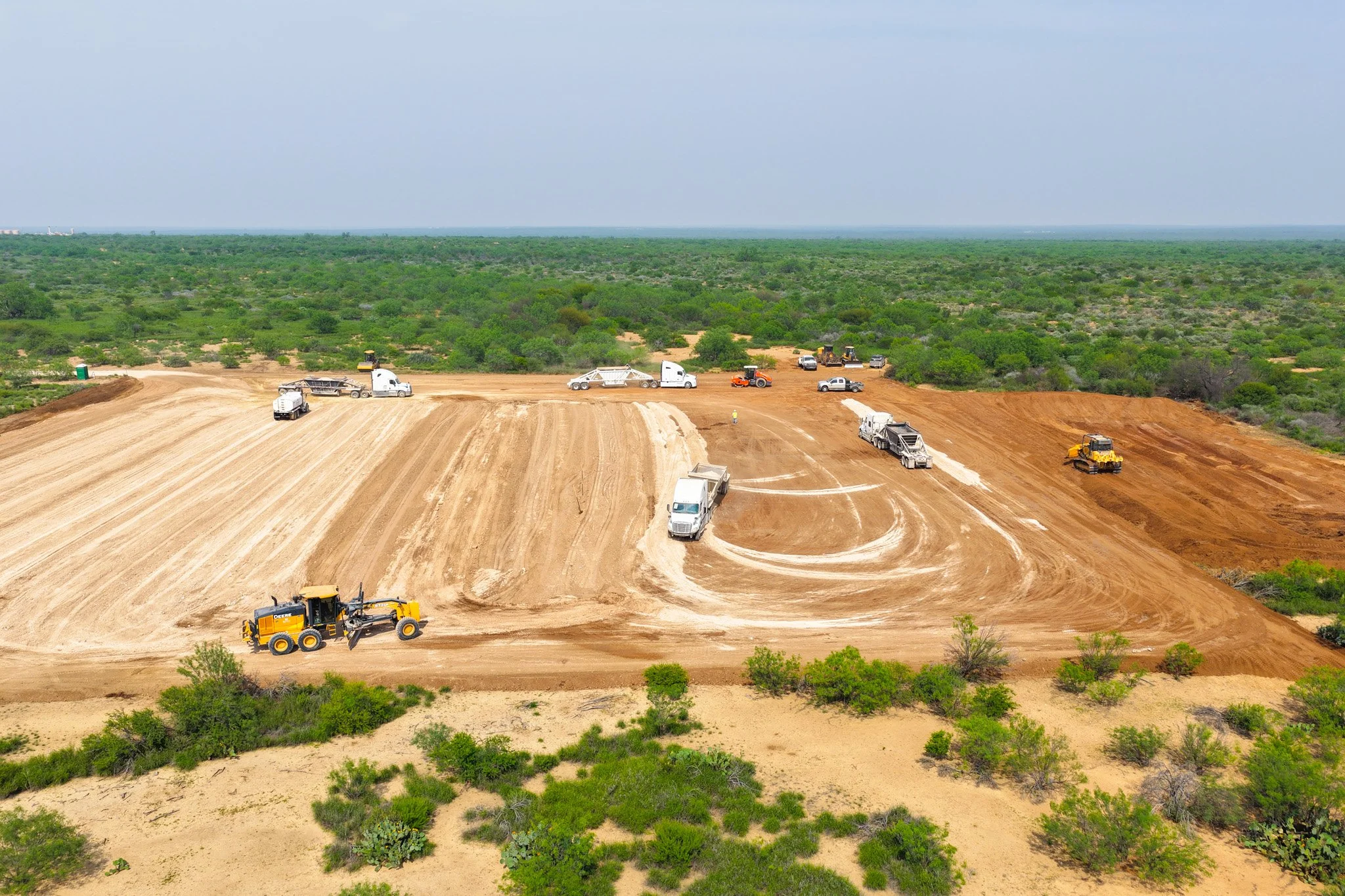
Professional aerial drone services for construction sites, development projects, and property progress tracking throughout Texas.
Services Include:
Construction progress photos & video
Site overview imagery
Aerial inspections
Project documentation
Mapping & property layout visuals
Marketing content for developers & contractors
High-resolution photo and video delivery
Scheduled progress updates available
Our drone services provide a safe, efficient, and professional way to monitor projects, document site progress, and capture valuable aerial perspectives throughout every stage of construction.Business Marketing


Professional aerial photo and video services designed to help businesses stand out with high-quality visual content throughout Texas.
Services Include:
Aerial business photography
Promotional drone video
Social media content
Commercial property showcases
Event coverage
Branding and advertising visuals
Website and marketing media
High-resolution edited photo & video delivery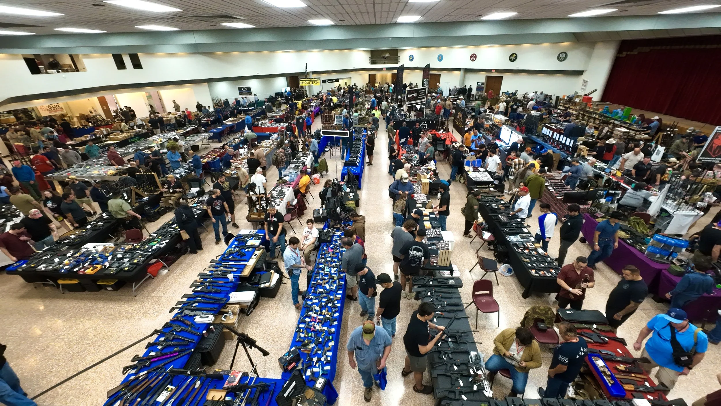
Our drone marketing services provide eye-catching aerial content that helps businesses showcase their location, services, projects, and brand from a unique perspective.Events , Wedding , Rodeo
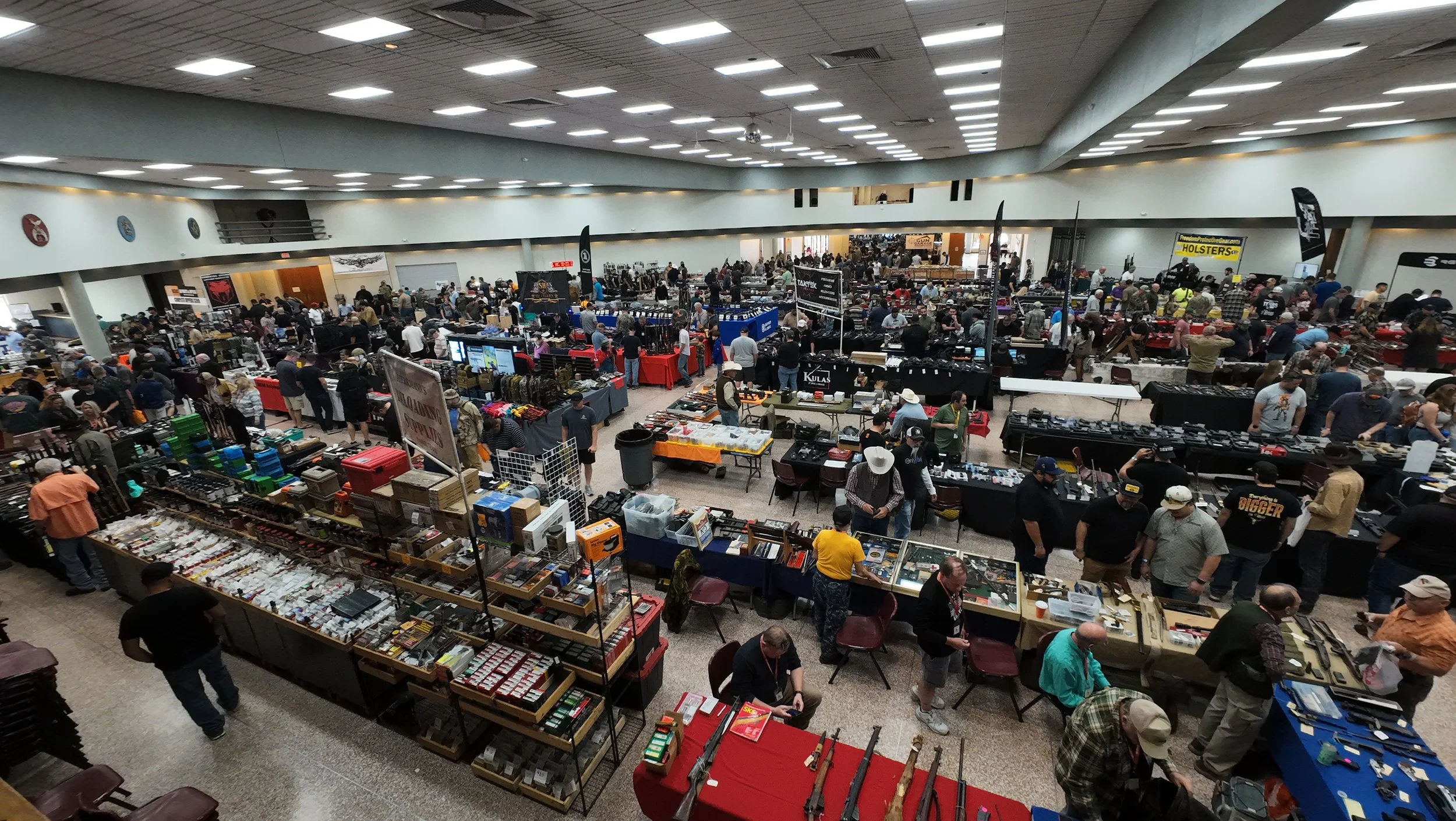
Professional aerial photography and videography for special events throughout Texas. We capture unique aerial perspectives that help preserve memorable moments and showcase the full atmosphere of your event.
Services Include:
Wedding aerial photography & video
Rodeo and outdoor event coverage
Festival and community event media
Crowd and venue overview shots
Highlight videos
Social media content
High-resolution edited photo & video delivery
Custom event coverage options
Our drone services provide cinematic aerial content that adds a unique and professional touch to weddings, rodeos, and special events of all sizes.Ortho Mapping
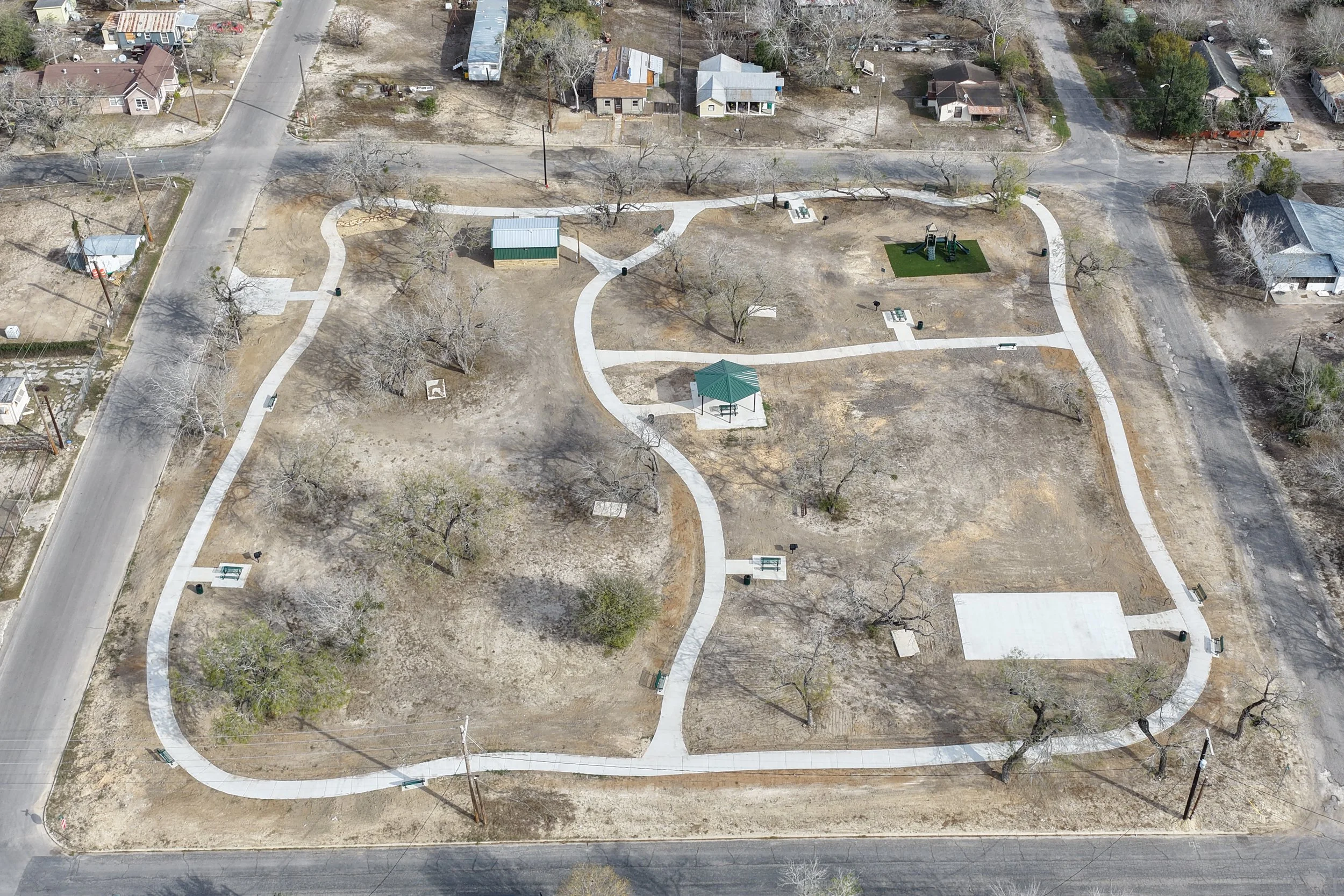
Professional drone orthomosaic mapping services throughout Texas, providing detailed aerial maps and accurate visual documentation for properties, ranches, construction sites, and land management projects.
Services Include:
High-resolution orthomosaic maps
Property and acreage mapping
Construction site mapping
Ranch and land documentation
GPS-referenced imagery
Progress tracking and site overviews
Detailed aerial visuals for planning and analysis
Custom mapping solutions available
Our drone mapping services deliver accurate, stitched aerial imagery that provides a clear top-down view of your property or project for efficient planning, documentation, and management.Inspections
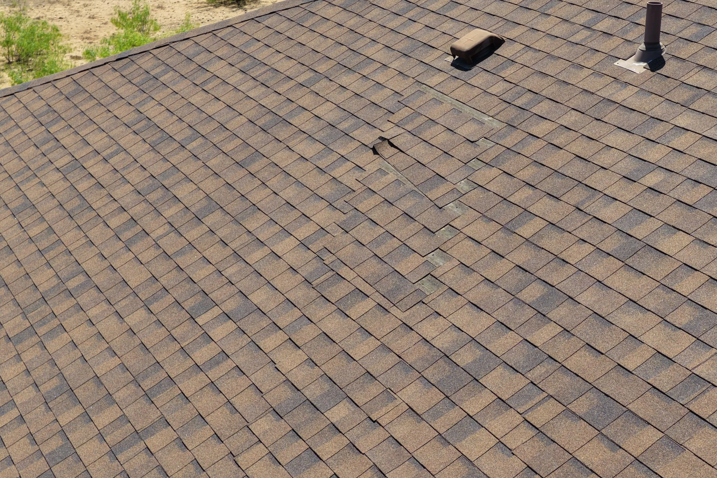
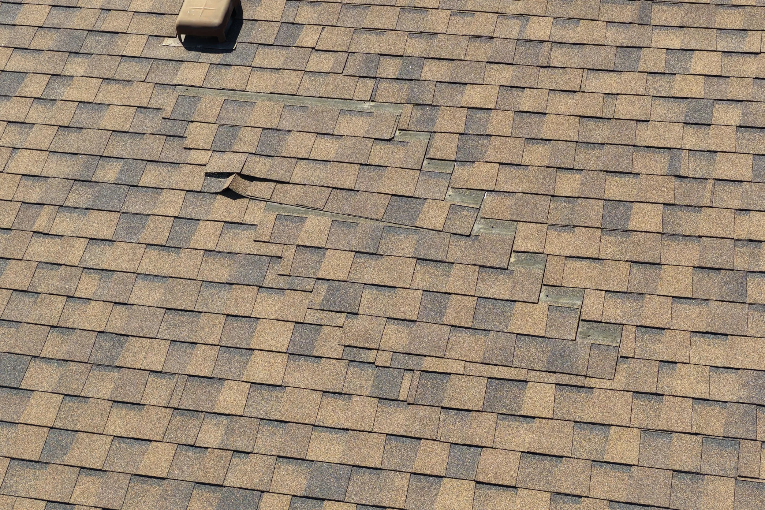
Professional drone inspection services throughout Texas, providing safe and efficient aerial inspections for residential, commercial, agricultural, and industrial properties.
Services Include:
Roof inspections
Property and structure inspections
Construction site inspections
Ranch and agricultural inspections
Equipment and infrastructure overview
Hard-to-reach area inspections
High-resolution photo & video documentation
Detailed visual reporting
Our drone inspection services help capture clear aerial visuals while reducing the need for risky manual inspections, allowing for faster, safer, and more efficient project evaluation and documentation.