Accurate Aerial Mapping From Above
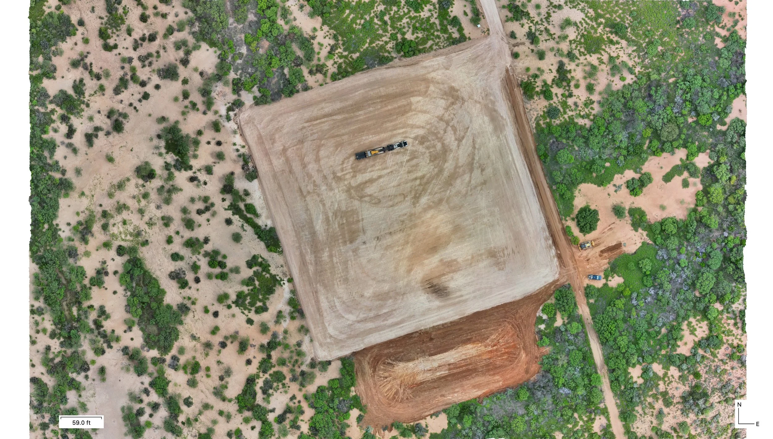
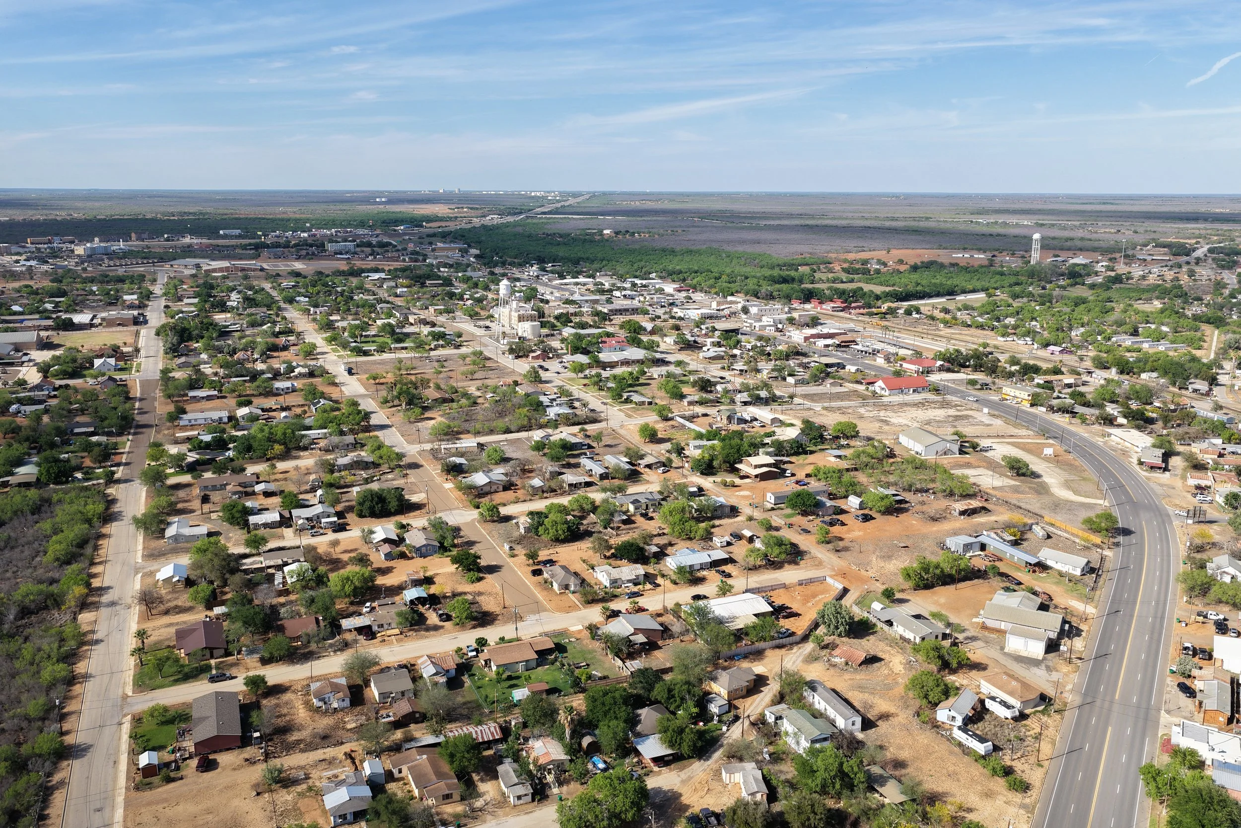
Professional drone mapping services throughout Texas providing high-resolution orthomosaic maps, aerial imagery, and property documentation for ranches, construction sites, land management, and development projects.
Precision Drone Mapping for Properties, Ranches, and Construction Projects
HOW IT WORKS
Project Consultation
We discuss your property, project goals, acreage, and the type of mapping deliverables needed
Flight Planning & Scheduling
The mapping mission is planned based on property size, airspace requirements, weather conditions, and project scope.
Drone Mapping Operations
We capture high-resolution aerial imagery using professional drone flight patterns designed for accurate mapping and site documentation.
Receive Your Mapping Deliverables
Completed orthomosaic maps, aerial imagery, and project files are delivered digitally for planning, documentation, and property management use.
Why Choose IronHawk Solutions for Mapping?
Accurate aerial property documentation
Efficient coverage for large acreage and project sites
Professional GPS-referenced imagery
Reliable mapping for construction, ranches, and land management
Customized mapping solutions tailored to project needs
Quality aerial visuals designed for planning, documentation, and analysis
Professional communication and dependable scheduling
High-resolution orthomosaic mapping solutions
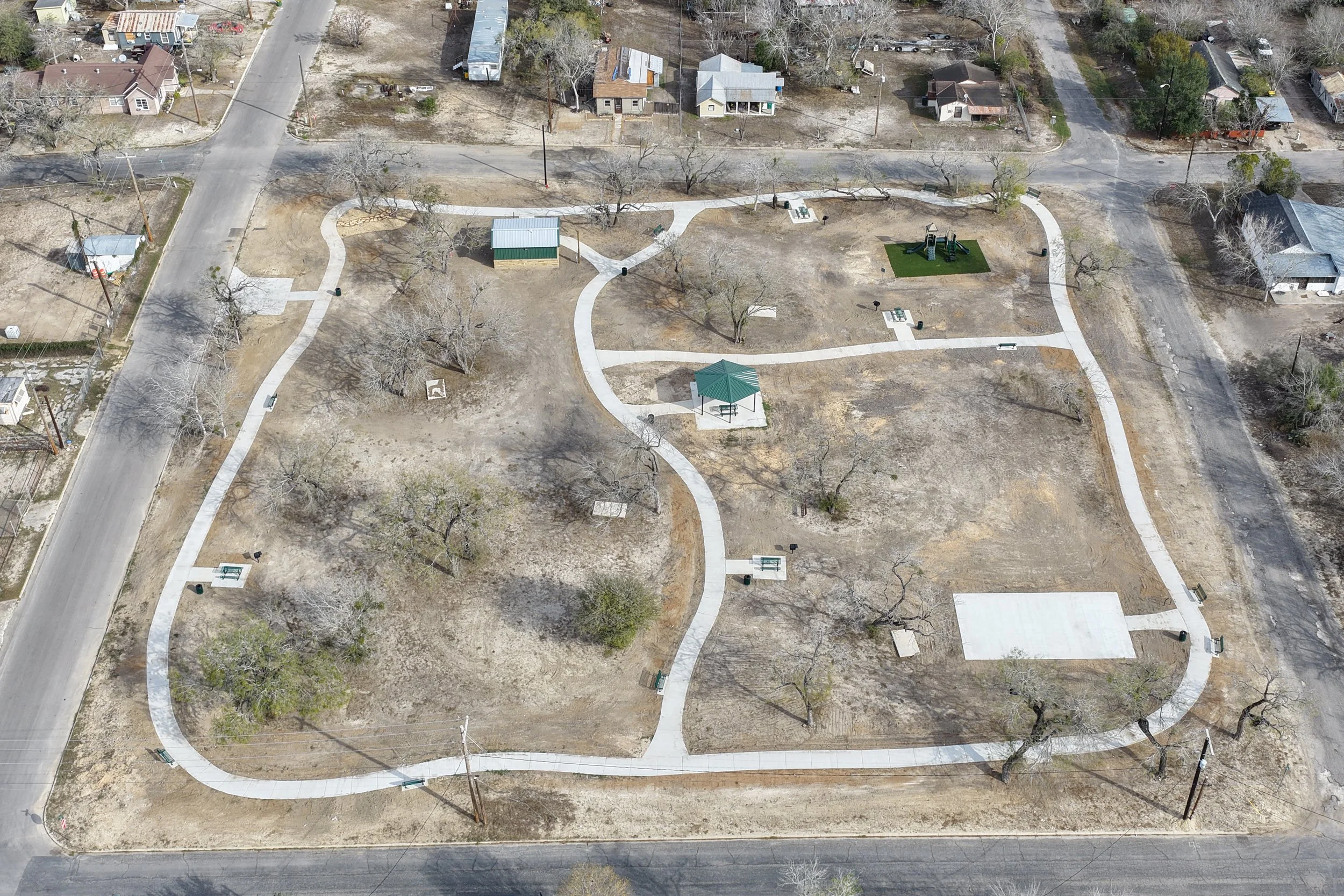
Who benefits Aerial Drone Mapping?
Ranch Owners-Gain detailed aerial maps and property overviews for land management, fencing, roads, water sources, and overall property documentation.
Construction Companies-Monitor project progress, site layout, and development activity with accurate aerial mapping and updated visuals.
Developers-Use aerial maps for planning, property visualization, and showcasing development progress to clients and investors..
Landowners-Better understand property layout, acreage, terrain, and access points through high-resolution aerial mapping.
Survey & Engineering Teams-Access clear aerial imagery and mapping visuals that support planning, inspections, and site evaluation
Real Estate Professionals-Showcase large properties, ranches, commercial developments, and land listings with professional aerial mapping visuals.
Property Managers-Maintain updated aerial documentation for property records, planning, maintenance, and management purposes.