Building Better Perspectives From Above
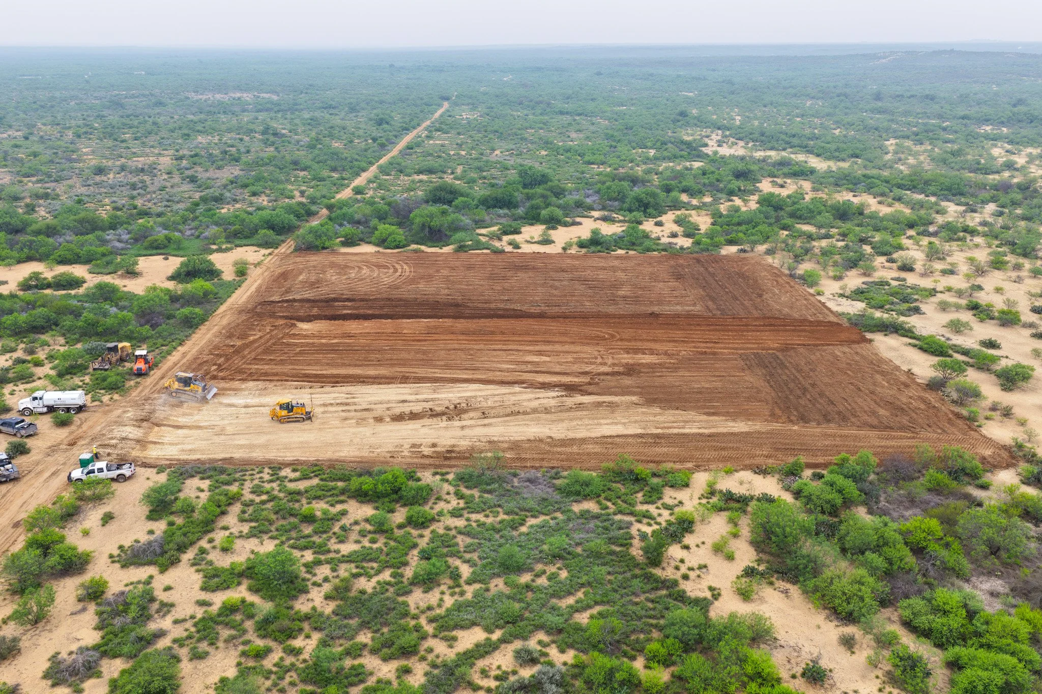
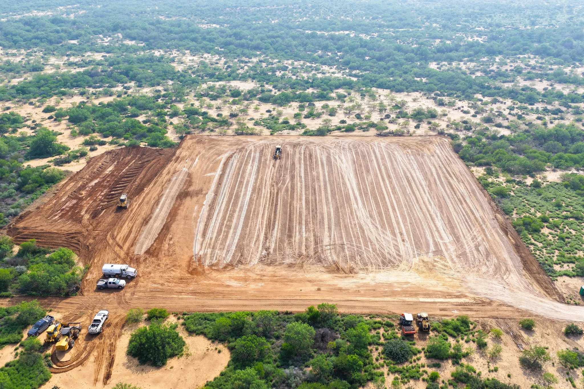
Professional aerial photography, video, mapping, and site documentation for construction projects throughout South Texas. Ironhawk Solutions delivers high-quality drone media designed to help track progress, improve project visibility, and showcase every stage of construction professionally.
Helping Construction Teams Monitor Progress Safely, Efficiently, and Professionally
HOW IT WORKS
Project Consultation
We discuss your construction project, site location, goals, and the type of aerial coverage needed.
Schedule Site Flight
A flight date is scheduled based on project timelines, weather conditions, and site accessibility.
DRONE FLIGHT/CAPTURE
We safely capture high-quality aerial photos, videos, mapping, or progress documentation throughout the project site.
Receive Project Deliverables
Edited media, site visuals, progress updates, and mapping files are delivered digitally for reporting, documentation, and marketing use.
Why Choose IronHawk Solutions for Construction Projects ?
Construction progress tracking and reporting
Orthomosaic mapping and aerial overviews available
Cost-effective aerial solutions without disrupting site operations
Professional media for clients, investors, and marketing
High-resolution photos and cinematic video capture
FAA-licensed and insured drone operations
Who Benefits From Our Construction Drone Services?
General Contractors-Monitor project progress, improve site documentation, and capture professional aerial visuals for clients and stakeholders
Construction Companies-Track site development efficiently with aerial overviews, progress updates, and visual project records.
Project Managers-Use aerial imagery to monitor timelines, site conditions, equipment placement, and overall project coordination.
Engineers & Survey Teams-Access clear aerial perspectives and mapping visuals that assist with planning, inspections, and site evaluation
Property Owners-Stay updated on construction progress with detailed aerial photos and videos without needing to visit the site regularly.
Marketing Teams-Create professional promotional content that highlights construction progress, completed developments, and company capabilities.
Developers-Showcase construction progress, property layout, and completed projects for investors, marketing, and planning purposes.