Thermal Drone Deer Surveys
You may ask :
Whats included in your Survey
-
The entire agreed-upon survey acreage will be flown using the drone. We systematically cover the property to provide a thorough survey of the designated area.
-
An initial count is completed from the survey footage and data collected during the flight. Deer detected during the survey are identified and counted to establish the first population estimate.
-
After the survey is completed, you will receive a detailed final report documenting the flight and survey findings. Your report includes:
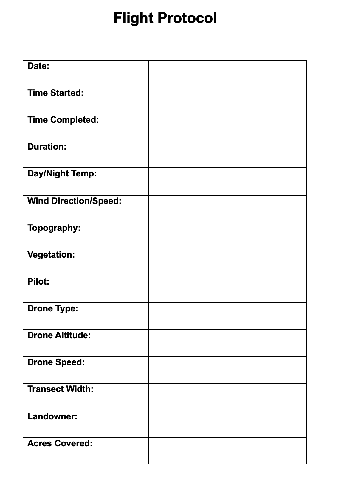
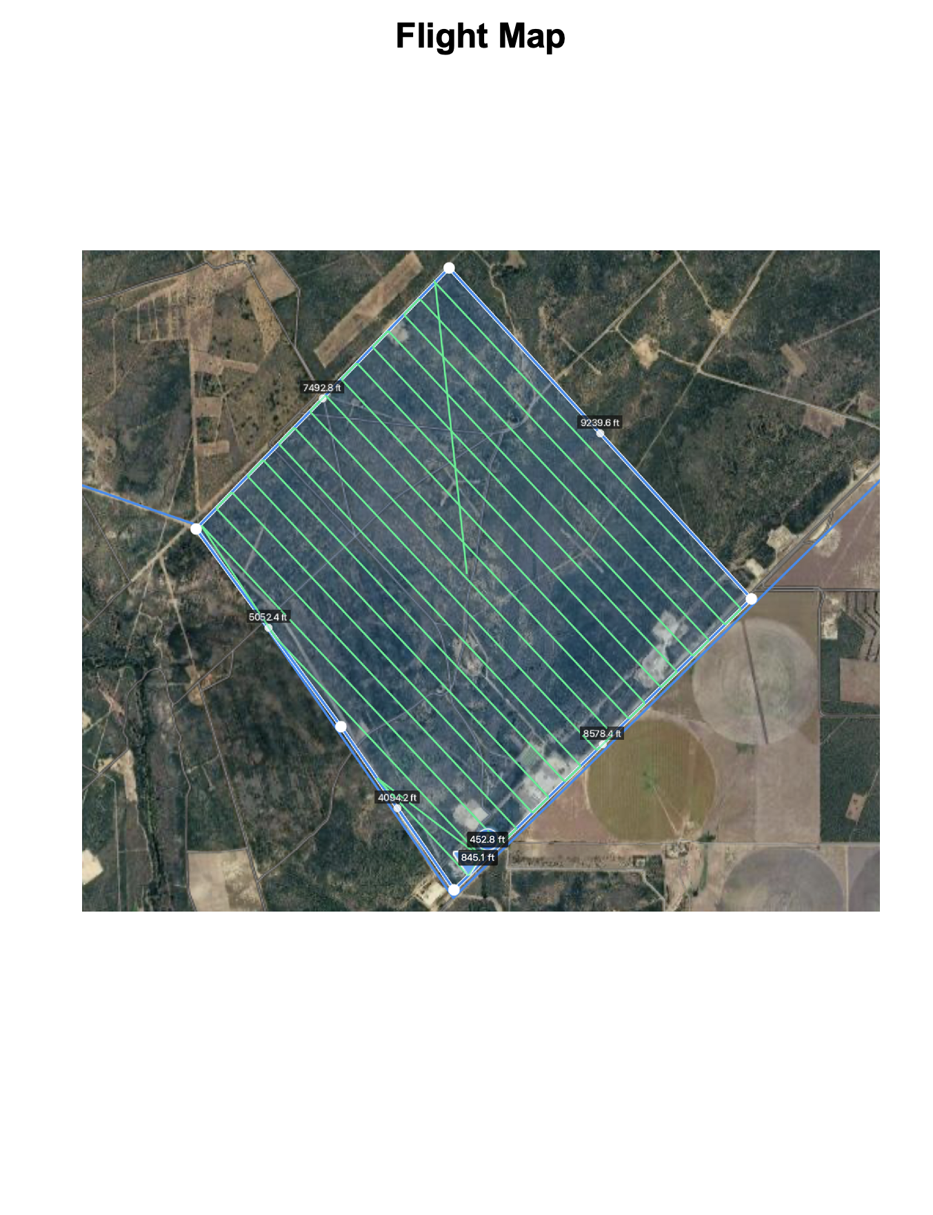
Flight Details — Date, flight time, acreage surveyed, flight coverage, and other relevant survey information.
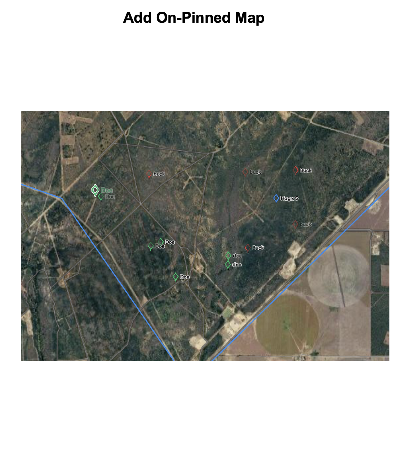
Property Survey Map — A map showing the area covered during the drone survey.
Pinned Deer Mapping — Deer locations identified during the survey are pinned on the property map, providing a visual overview of where deer were observed.
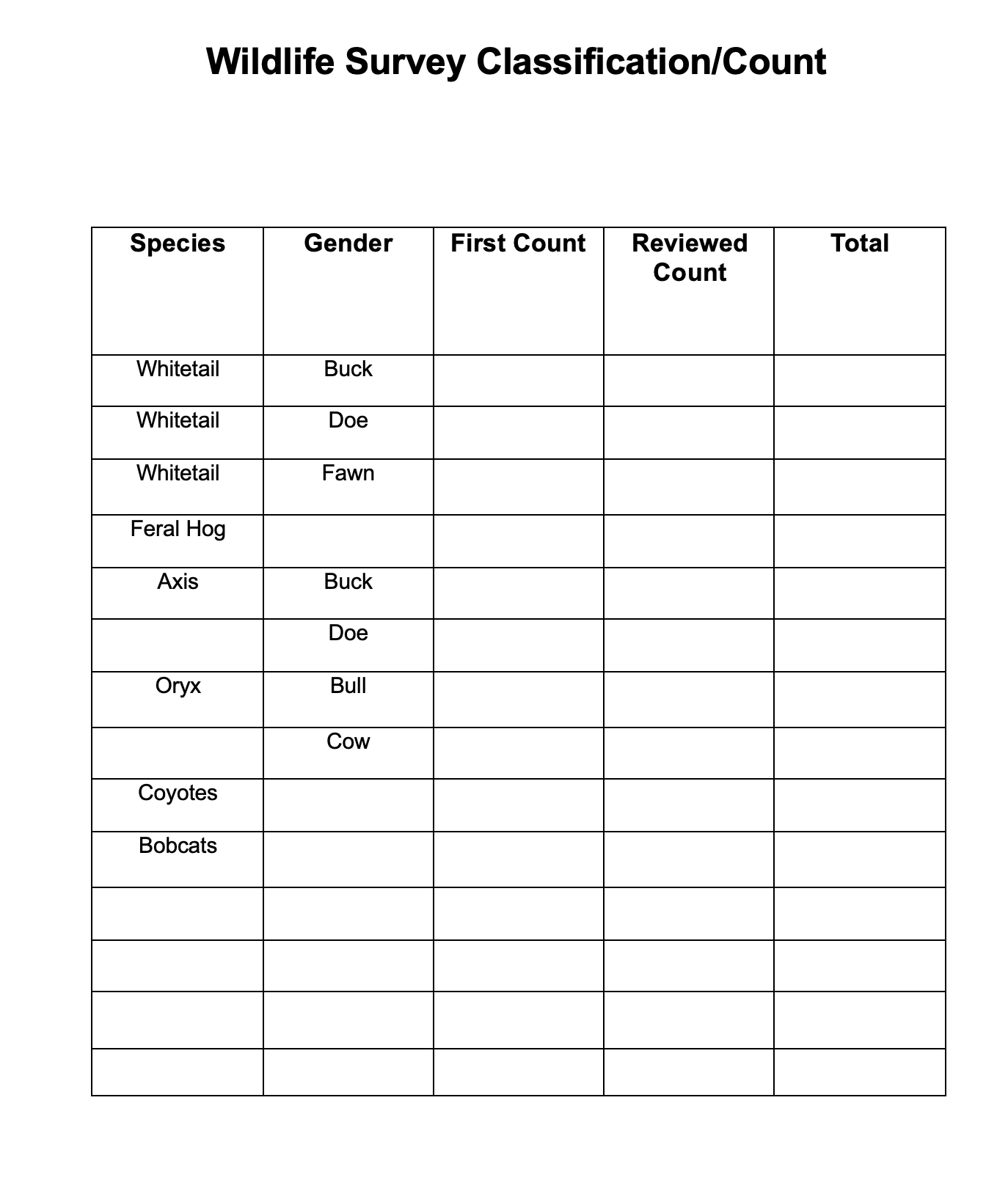
Final Deer Count — A reviewed final count of the deer observed during the survey.
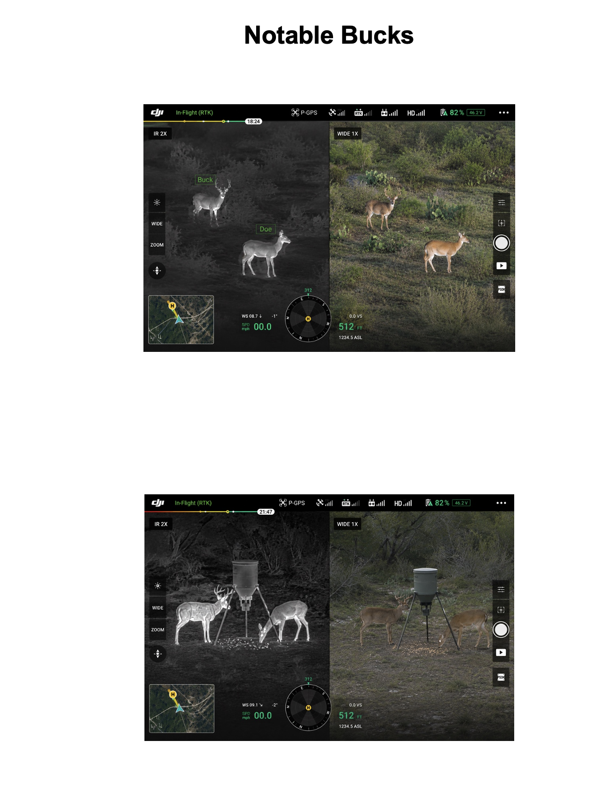
Notable Bucks — Noteworthy or identifiable bucks observed during the survey are highlighted in the report, with available images and location information when possible.
Survey Summary — A clear summary of the overall findings and observations from the flight.
-
You will receive the full video footage from the drone survey, allowing you to review the flight and see what was captured across your property.
Sample Final Report