

Thermal Drone Deer Survey Process
Step 1
CONTACT US
-
-
LOCATION
ACRES
GOAL OF SURVEY
HIGH FENCE/LOW FENCE
BRUSH /TERRAIN
EXOTICS OR WHITETAIL ONLY
-
When would you like to schedule Survey - Book All YEAR- Main Survey season is AUG through March
Step 2
PROPERTY CONSULTATION
-
Review your goals of survey
Buck/Doe/Fawn Ratios
Wildlife count
Predator Counts
Missing Exotics
Exotics Count
-
Confirm
Arceage
Property Boundaries
Terrain
High Fence/Low Fence
-
Discuss Cost per Acre
Discuss Cost For Travel Based on Location
Give Quote for Cost of Survey
Step 3
TPWD PERMIT AND SURVEY SCHEDULING
-
Info Needed
Owner Information- Full Name Address/Phone/Email
Agent Information-- Full Name Address/Phone/Email
Property Boundary- Confirmed
-
AGENT OR OWNER - WILL GET A EMAIL WITH ALL SUBMITTED INFO , THEY MUST APPROVE TO SCHEDULE
-
Confirm Schedule of Survey
Will Contact and Confirm 2 weeks prior to Date
Step 4
SURVEY
-
Call or Txt Ranch Rep
Confirm Time of Arrival
-
Discuss Set up Location
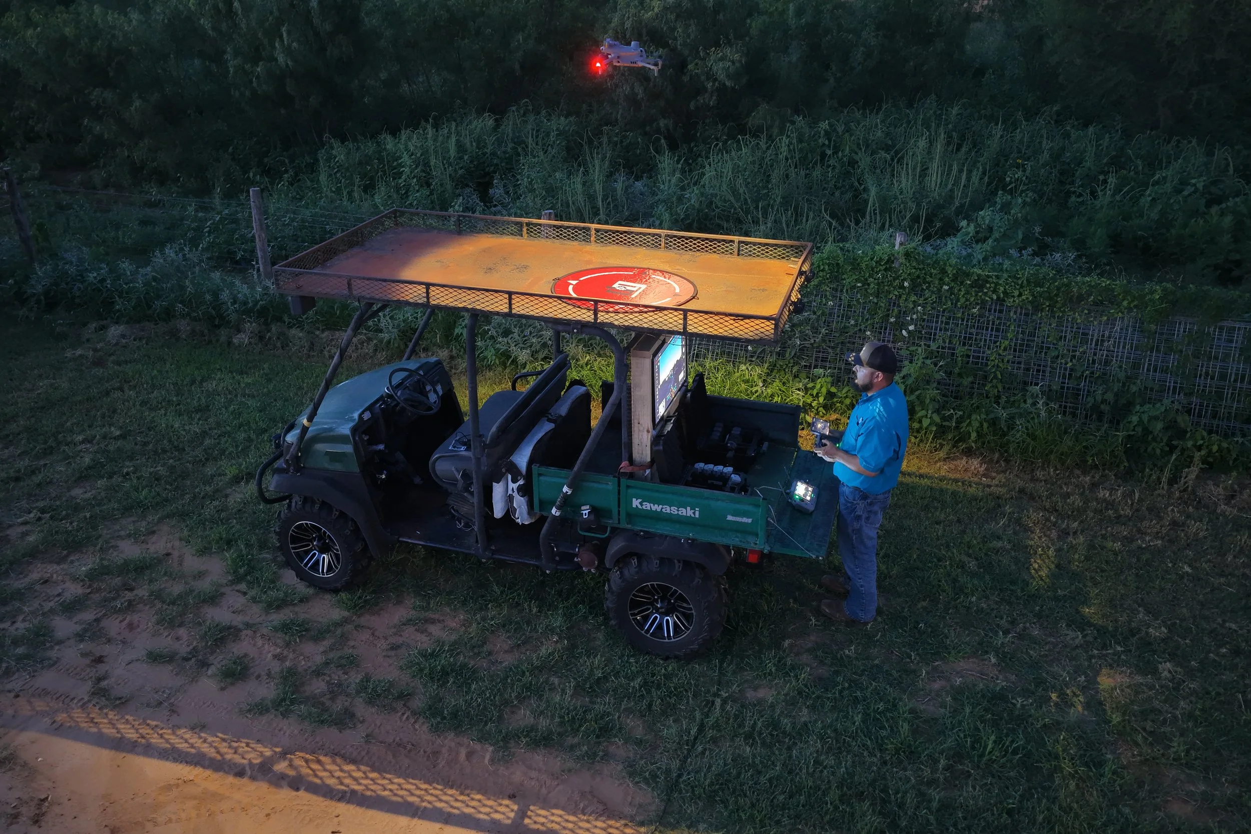
Set up Drones/Landing Pads
Confirm Property Boundaries
Confirm Flight Path
Check TFR/FAA Retrictions
Check Weather Conditions
-
Launch Drone
Start conducting transect Aerial Survey
Monitor Available to View Flight
-
Load up
Call or Txt Ranch Rep
Provide initial count if avaivable
Leave Ranch
Step 5
FINAL REPORT
-
24-48 hours will be emailed
Flight Path
Flight Conditions
Wildlife count
Notable Animals
-
Map of Property with Pinned Wildlife locations
-
Full Video of Flight- Link to Dropbox to be provided
Step 6
FOLLOW UP
-
Will Reach out to Review Experience
Discuss any issues or Room for Improvement
-
Discuss Scheduling for Next years survey